
Local Walks Around the Luston Area
Copies of the leaflets are now also available for download (and printing out, if you wish) by clicking on the link for each walk.
Car parking is available at the Balance Inn, though the pub has recently re-opened so you may want to let the landlord know before you start your walk. The pub is open from 11am to 11pm – please click here for more about the Balance Inn.
Map: OS Explorer 203. Bus: 490/492. Stop: The Balance Inn or ask for the end of Eye Lane.
Please remember The Countryside Code, Be safe, plan ahead and follow any signs. Leave gates and property as you find them. Protect plants and animals; take litter home. Keep dogs under close control and consider other people.
Oaker Wood
3.75 miles (6 kms.) – mainly flat.
This walk goes out of Luston Village into the beautiful surrounding countryside. It is mainly through fields, with a short stretch along the edge of Oaker Wood and a short section along Croft Lane. There are wonderful views from Luston fields across to Bircher Common, Croft Woods and beyond to High Vinnals in Mortimer Forest and Titerstone Clee.
North Circular
3.5 miles (5.6 kms.) – mainly flat.
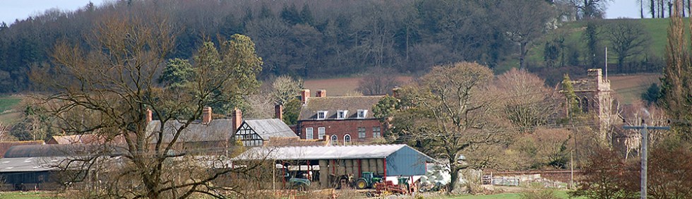
This walk is mainly through fields, crossing several streams and the railway line, with a short stretch along Eye Lane. It passes the Church of St. Peter and St. Paul, and has wonderful views across to Bircher Common, Croft Woods and beyond to High Vinnals in Mortimer Forest and the Clee Hills.
Eyton Church
5 miles (8 kms.) – mainly flat with gentle hills.
This walk is mainly through fields but with several stretches along quiet minor lanes, edged for much of the year with wild flowers. It passes the charming church of All Saints at Eyton and has lovely local views to Oaker Woods and Bircher Common, and in the distance: to Hay Bluff to the south west, High Vinnals in Mortimer Forest and the Clee Hills to the north.
Eye Church
3.5 miles (5.6kms) – mainly flat
This latest addition to our list is a circular walk from Eye Church via Shuttocks Hill.
It may also be started from Cawley Hall, and the description includes a shorter 2.5 mile (4.1 km) option.
Other Local Walks
National Trust Walks
-
Berrington Hall to Croft Castle
The National Trust have created a 5 mile (8 km.) walk, which mainly follows local footpaths, from Berrington Hall to Croft Castle.
Download the Berrington Hall to Croft Castle Walk Map. Full details can be found on a separate sheet: Berrington Hall to Croft Castle Details
-
Walks around Croft Castle
They have also published a leaflet showing four short circular walks on the Croft Castle estate, the details of which can be found here: Croft Castle Walks Page 1 together with a detailed map giving full directions on a separate sheet: Croft Castle Walks Page 2
We hope you will find these of interest.